Credit: PGS
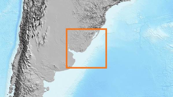
Norwegian oil and gas exploration seismic data company PGS has signed an agreement with Uruguay's state oil company ANCAP to reprocess over 11 000 km of existing 2D lines of various vintages, applying the latest seismic imaging techniques.
"This rejuvenation will provide new, reprocessed 2D seismic that will tie with PGS’ existing 15 600 sq. km MultiClient 3D survey, covering the Punta del Este and Pelotas basins," PGS said.
The Punta del Este basin develops in the western part of the offshore of Uruguay near the border with Argentina. It was formed by a failed rift structure in the Late Jurassic, producing a northwest-southeast (NW–SE) fault trend.
The Pelotas basin develops in the eastern part of the offshore of Uruguay and extends through several kilometers into offshore Brazil. It was formed during the Early Cretaceous with the subsequent opening of the Atlantic Ocean, forming a NE–SW fault trend.
New regional horizon interpretation will delineate the variable structural framework and timing of faulting between these basins, which resulted in a varied depositional history during the Jurassic, Cretaceous, and Cenozoic, PGS said.
"The area offers an abundance of exploration opportunities. Numerous clastic-channel and fan systems, plus carbonate build-ups form stacked plays throughout the Paleozoic to Tertiary section. Most of these plays have yet to be tested. Fluid inclusions of oil and gas, gas chimneys and BSRs identified offshore indicate a working petroleum system with predicted source rock intervals in the Paleozoic, Jurassic, and Cretaceous," PGS added.


No comments:
Post a Comment